Everything’s better when you’re on holiday! Whether you’re dreaming of a romantic island escape, a fun-filled family vacation, a relaxing beach break, or an adventure-packed getaway, AfricaStay is your one-stop-shop for unforgettable holiday packages and deals.
Our expert travel team tailor-makes vacation packages to some of the world’s most popular destinations, including
Zanzibar,
Maldives,
Seychelles,
Mozambique,
Mauritius,
Reunion
and many other island getaways.
We can also assist with safari lodges and popular holiday gems in
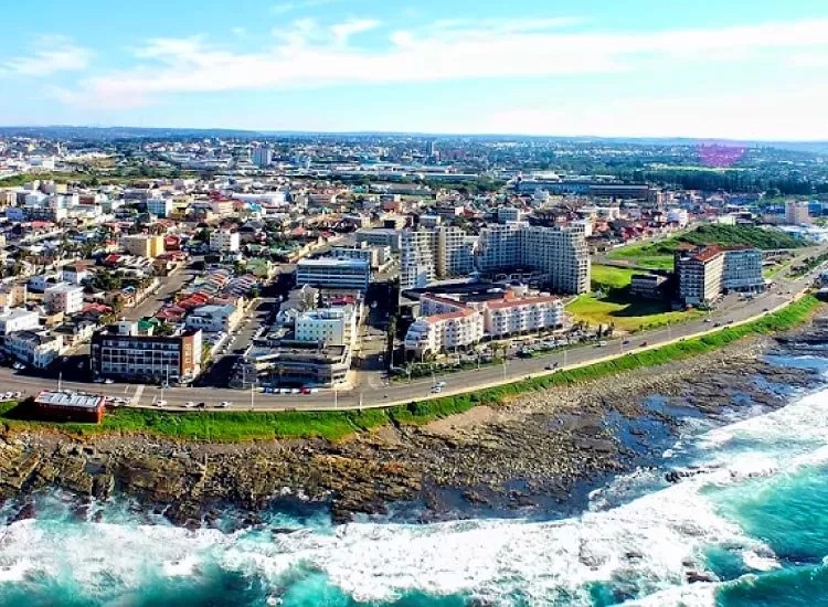
South Africa,
Victoria Falls,
Botswana and
Kenya.
With a wide range of exclusive holiday deals, flexible packages and personalised travel planning, we help you find the perfect holiday to suit your taste, budget and travel style. Start planning your dream vacation today and let us take care of the details.